ptp-032624-7
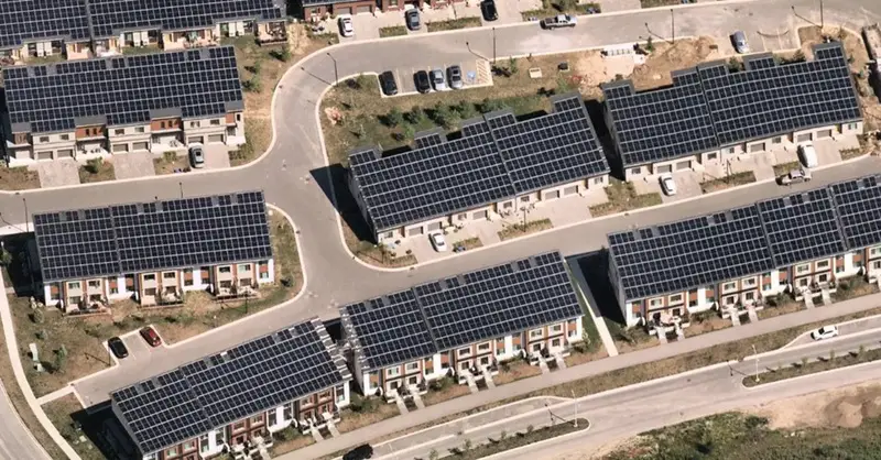
Aerial imagery provides location intelligence and detailed insights, empowering engineers to design solar farms with laser-sharp precision.
Aerial imagery provides location intelligence and detailed insights, empowering engineers to design solar farms with laser-sharp precision.
Leave a Reply
Want to join the discussion?Feel free to contribute!