Reshaping the solar landscape with aerial imagery
Gone are the days of relying solely on ground-level surveys. Today, high-resolution photographs and 3D models generated from aerial imagery paint a comprehensive picture of any given piece of land.
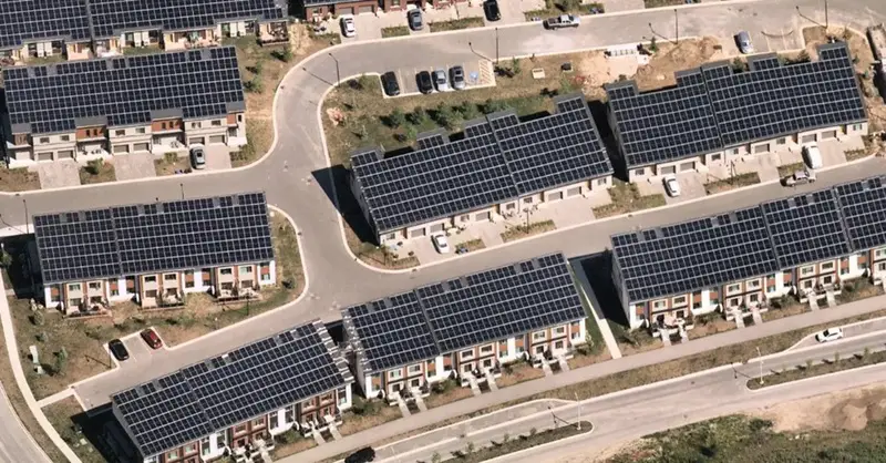
Location intelligence—the process of deriving meaningful insights from geospatial data—and aerial imagery are becoming more prominent in the solar industry. These tools are reshaping the solar power landscape, enabling developers to identify the best areas and layout for solar farms, as well as the optimal tilt of solar panels for increased sun exposure. These changes are not only bringing efficiency upgrades; they are paving the way for timely and relevant solutions to address ongoing climate issues that promise to propel the U.S. toward a more sustainable future.
Click here to read the full article
Source: PV Magazine
—
If you have any questions or thoughts about the topic, feel free to contact us here or leave a comment below.


Leave a Reply
Want to join the discussion?Feel free to contribute!